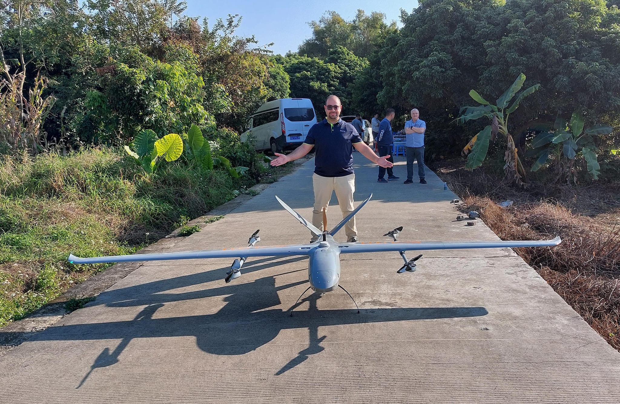
High-speed aerial surveying Fixed-Wing UAV
Surveying developments are relentless, and high-speed aerial surveying systems are taking the world by storm.
Here is the latest and largest aerial surveying aircraft from Thawth. The SF4500 Fixed Wing VTOL aircraft boasts a top speed of 98 km/h and a maximum altitude of 6 km above sea level. It can also fly while carrying the VUX-1 LiDAR scanning unit.
Flight time is up to 240 minutes with a 24-megapixel camera and operating at temperatures up to 55°C.
The future of aerial surveying aircraft is evolving every day, increasing educational opportunities and technological advancements in digital map production.
South’s fixed-wing aircraft can fly for up to 3-5 hours and can carry a number of sensors for aerial surveying.
0 Likes