")


Featured
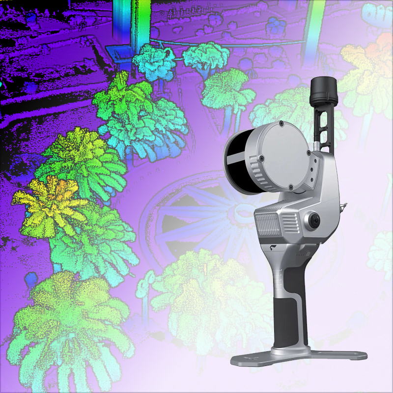
Colorized Point Cloud
SLAM200 / 2000
Handheld 3D Scanner with Long-Rang Max. 300m, inhance your scan with 4K colors & 640k pts/s point cloud
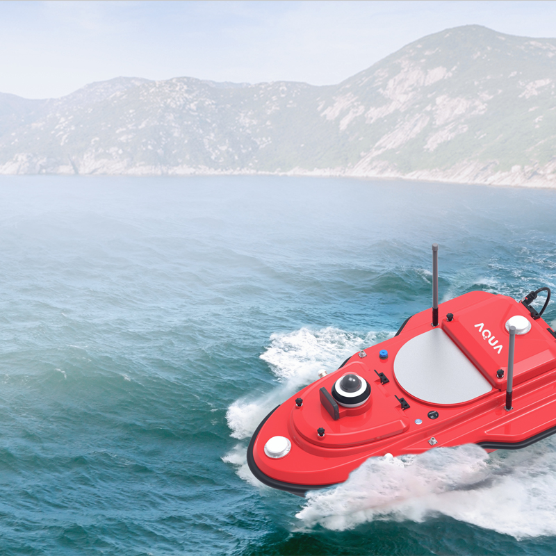

Shallow Water
AQUA M20 Pro
Versatile USV solution for Shallow Water, coastal and inland water and lakes surveys with High-End Tools.
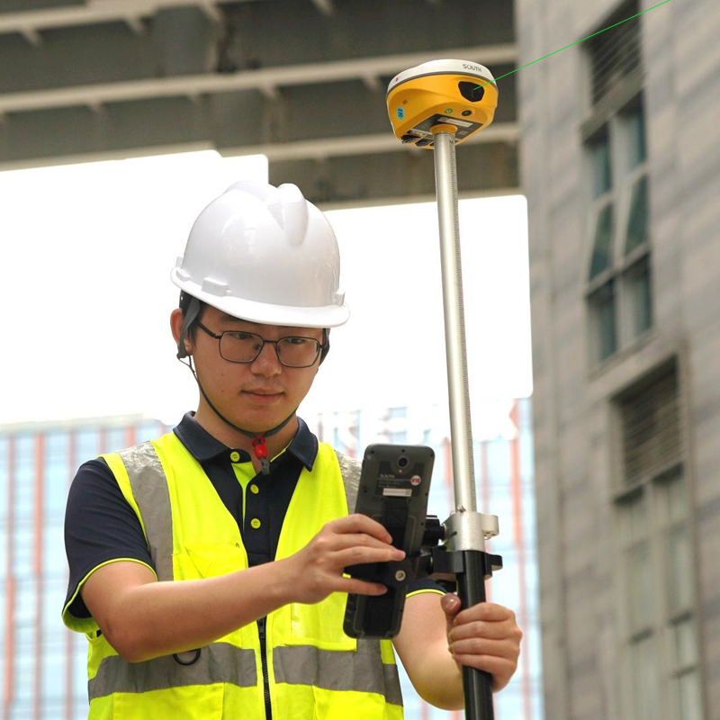
Laser Measurement & Remote Stakeout
ALPS1 GNSS
ALPS1 can integrate the content of CAD drawings with real-world scenes, helping you stakeout targets more quickly.