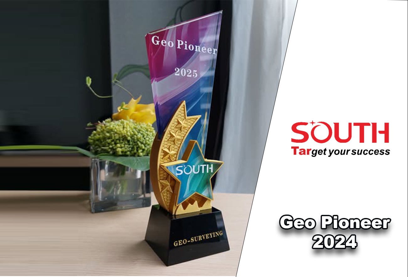
Geo Pioneer 2024 at Middle East, North Africa & MENA
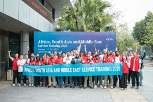
We are so proud that Geo-Surveying is a part of Guangzhou SOUTH Surveying & Mapping Technology co. Ltd group in China.
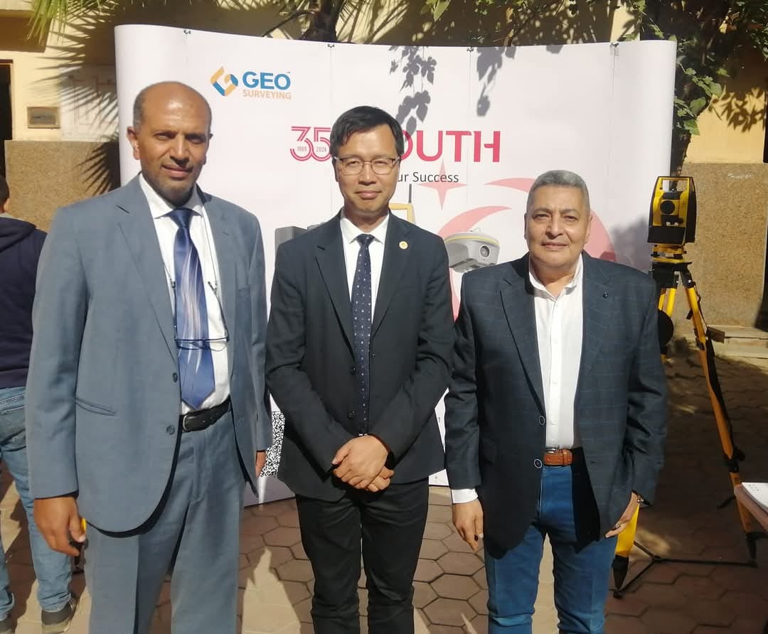
Great Cooperation between the two countries Egypt ![]() & China
& China ![]() , to introduce new technology into Egyptian market.
, to introduce new technology into Egyptian market.
At the beginning of 2025, Geo-Surveying Company received the![]() Geo Pioneer
Geo Pioneer![]() Award for selling the latest new technological systems in the Egyptian market and working on continuously developing needs and providing all means of technical support quickly and strongly.
Award for selling the latest new technological systems in the Egyptian market and working on continuously developing needs and providing all means of technical support quickly and strongly.
#geo_surveying #south #Egypt #China #construction #BIM #digitaltwin #laserscanning #2025goals
0 Likes